Concrete Jungle – NOS

If you live in the city, you will suffer more from the heat. In cities, the perceived temperature can be 10 degrees higher than outside the city. The Rotterdam district of Katendrecht is one such place where it gets hot. Anne Loes Nillesen, together with NOS, takes us to a small journey in the Katendrecht district, and explains the importance of including heat as a design criteria in urban strategies, public spaces and buildings to reduce the urban heat island effect. You can watch the clip here.

Furthermore, Katendrecht will continue its transformation from a port and industrial zone into a residential and urban living space. Thus a ‘Resilience strategy’ is needed to adapt these developments to future climate conditions. In one of our recent studies, Climate Strategy Katendrecht, we tackled this challenge and identified hotspots for heat stress, and developed a toolbox that takes into consideration of the living environment, inclusiveness, spatial quality and ecology.

Open Office Day 2025

On Saturday, we had the pleasure of welcoming many visitors to our office for OpenOfficeDay2025, part of Rotterdam Architecture Month.

It was a great opportunity to connect with many curious and enthusiastic visitors, share insights, and exchange ideas. Our mini-exhibition, showcasing some of our most significant recent projects, both in the Netherlands and internationally, sparked interesting conversations around the role of research-by-design in shaping the built environment.

Thanks to everyone who stopped by and contributed to the amazing atmosphere. We are already looking forward to next year!

OpenOfficeDay2025 RotterdamArchitectureMonth ArchitectureNetwork DesignCommunity StudioVisit

Climate Adaptive Design for Heat Stress

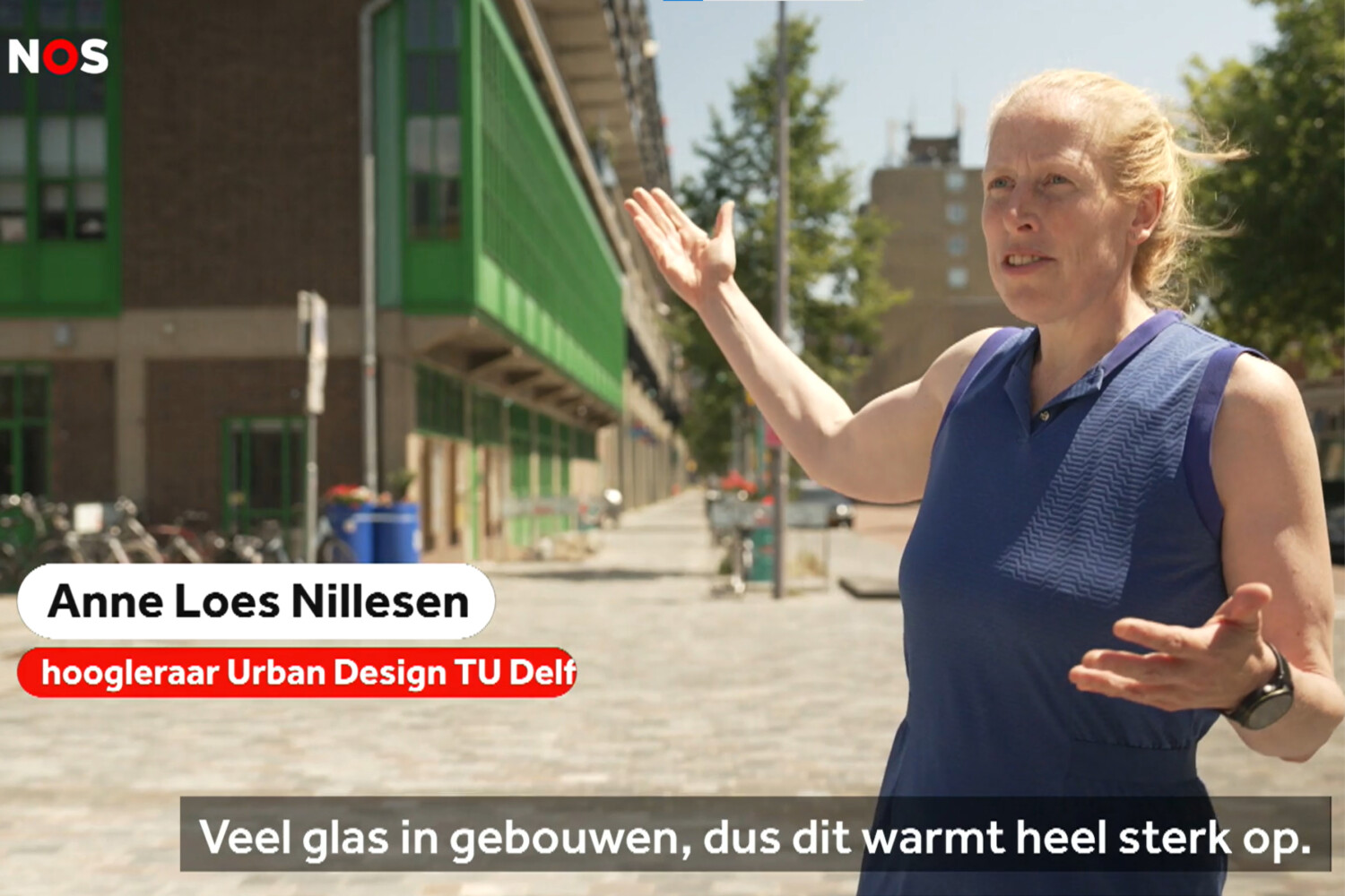
It’s hot again, isn’t it? Due to climate change, the number of tropical days is increasing. Yet spatial plans and designs of buildings still take far too little account of this increasing heat stress. The impact of heat can be limited by providing sufficient shaded areas and routes, less pavement and more greenery, well-integrated outdoor sun protection and options for night-time ventilation.

Fortunately, there are already many examples of greened streets. But a real design and implementation strategy is often still lacking. Even on a building scale, good outdoor sun effect is often not yet designed or cut back in the implementation.

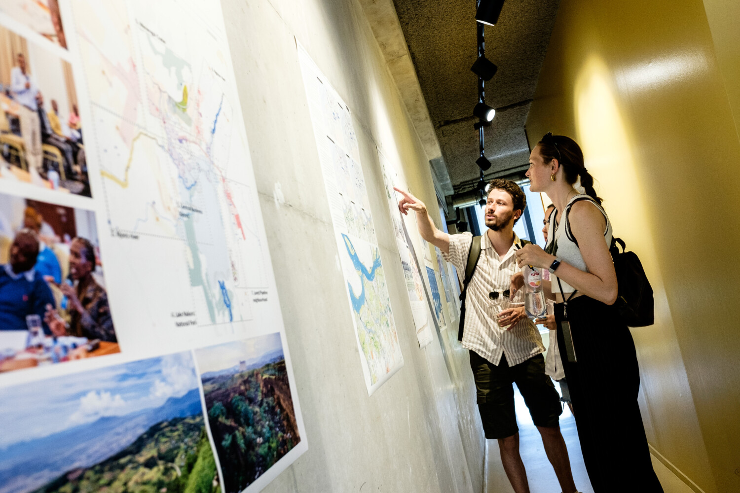
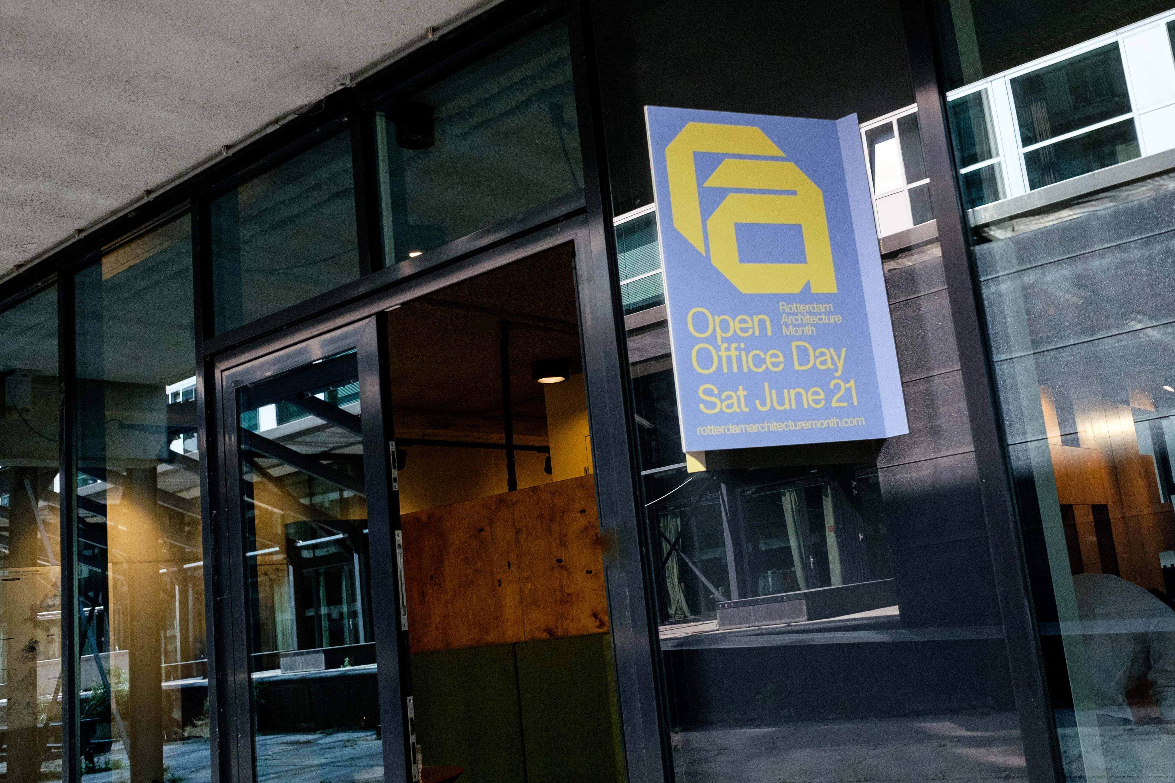
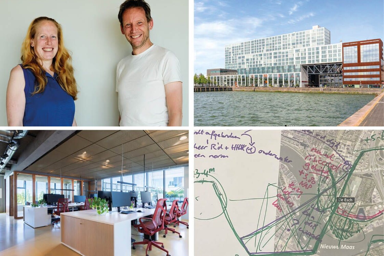
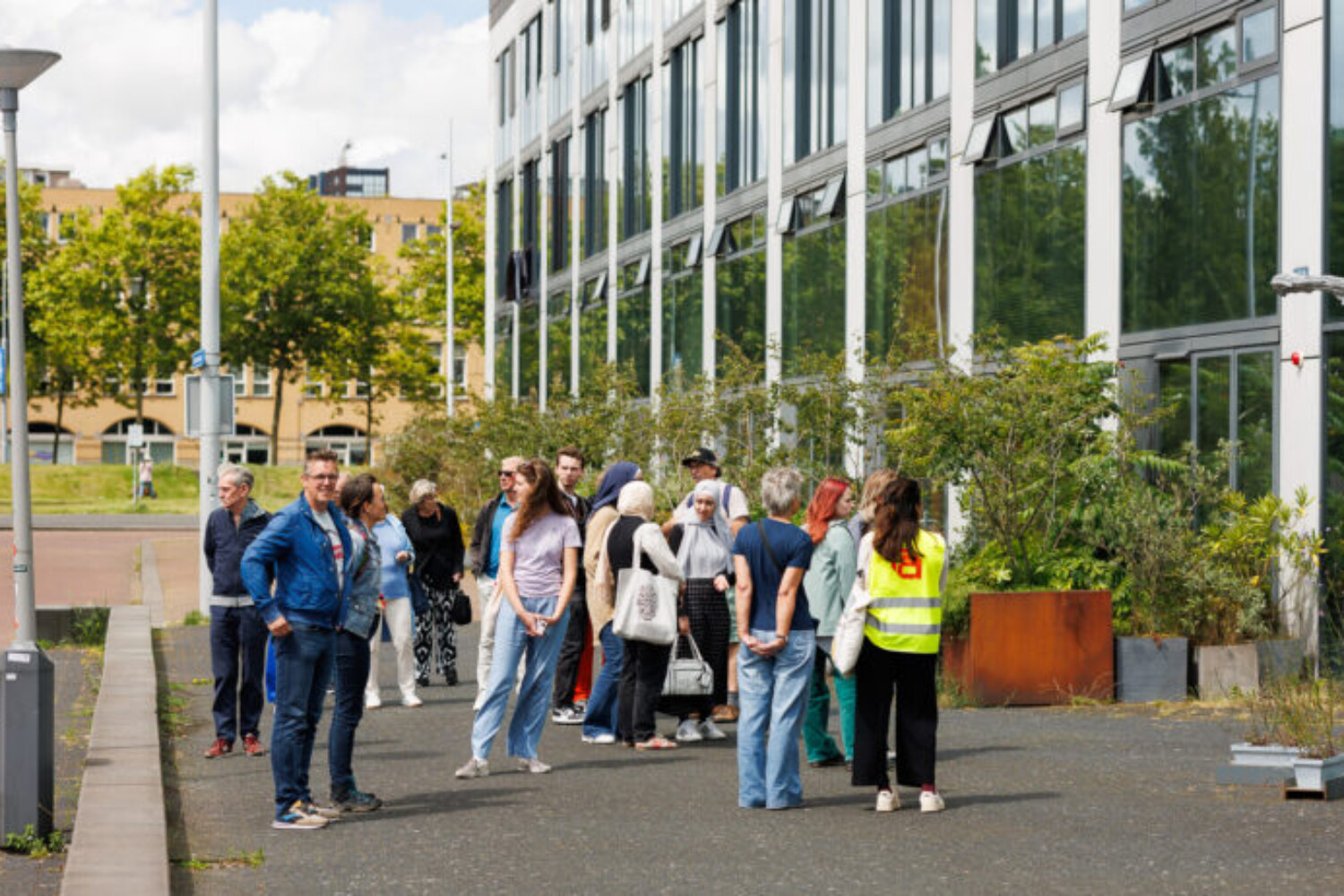
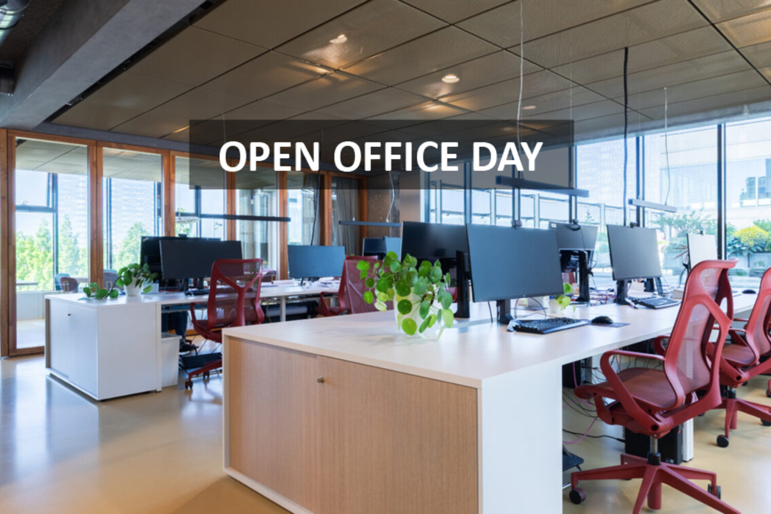
With temperatures forecasted to exceed 30°C this Saturday, June 21, the urgency of climate-adaptive design becomes even more evident, right in time for OpenOfficeDay2025, part of Rotterdam Architecture Month! Don’t miss the opportunity to visit us and explore how we can design for a cooler, more resilient city. Learn about innovative measures we can implement to adapt our public spaces to a warming climate 🌞

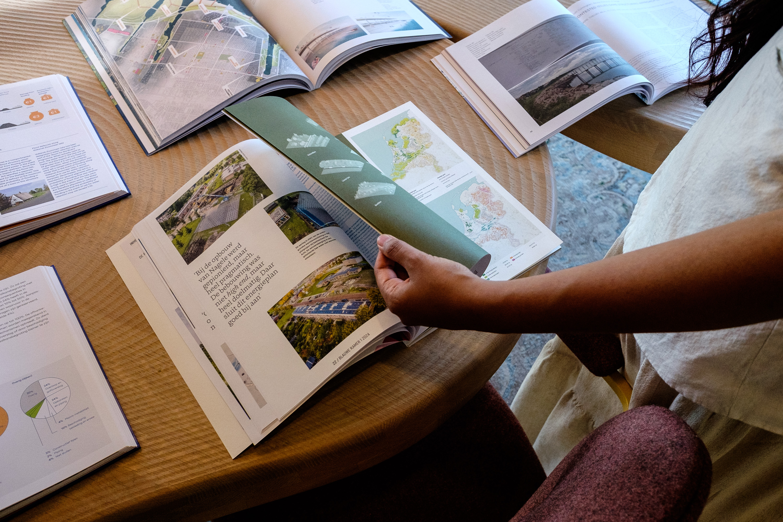
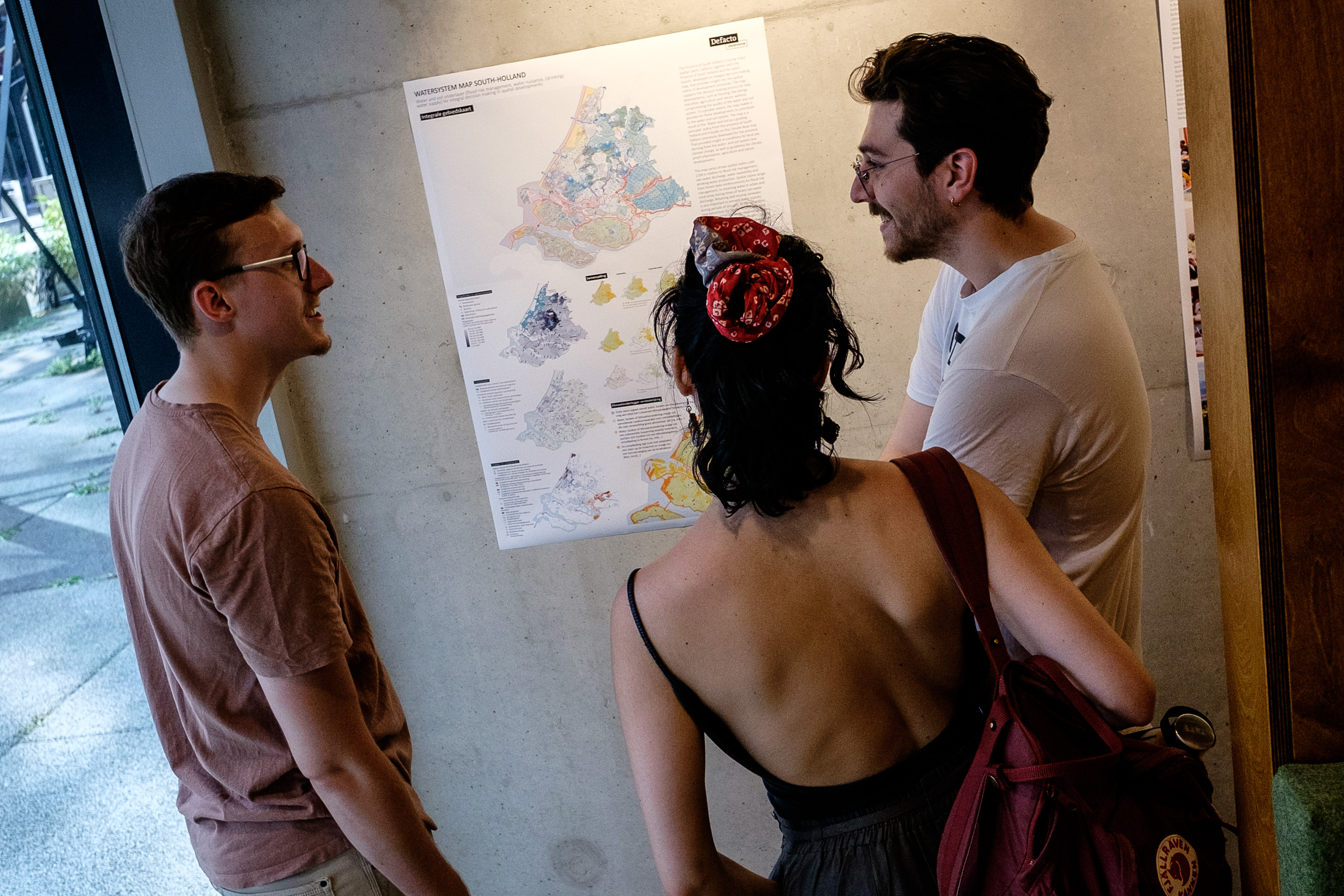
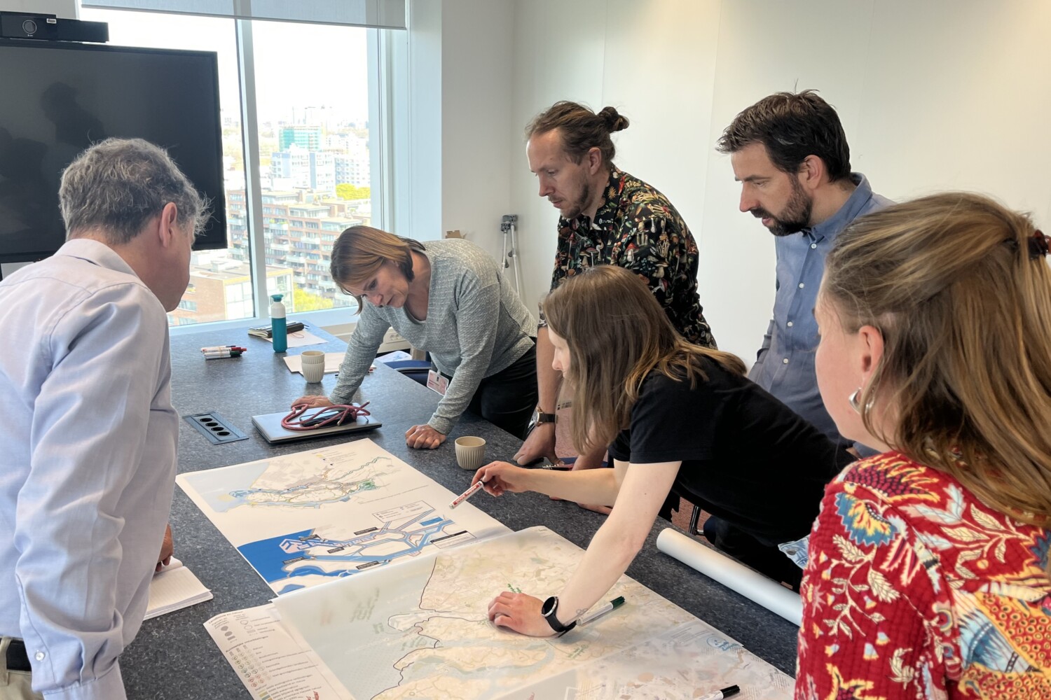
And further check our project that we did for the municipality of Rotterdam, where we worked on spatial strategy in the context of ‘Weerwoord’ in which, based on building typologies and neighbourhood profiles, we looked at how heat can be tackled city-wide and what important focus areas are. View the project here.

Water en Bodem Sturend Zuid-Holland

Voor de Provincie Zuid-Holland hebben we samen met de Provincie, waterschappen en drinkwaterbedrijven een onderlegger water en bodem sturend gemaakt. Het doel van deze onderlegger is dat ruimtelijke keuzes die nu en de komende jaren komen, bewust en op basis van de juiste kennis en inzichten worden gemaakt. Het is een kennisbasis die inzicht verschaft in ruimtelijke gevolgen richting 2100, bekeken vanuit de thema’s: Waterveiligheid, Water te veel, Water te weinig en Drinkwaterbeschikbaarheid.

De kaarten geven een overzicht van verschillende (zoekgebieden voor) reserveringen en ruimteclaims die in beeld zijn. De kaart is een levend document wat inzichtelijk maakt dat de ruimteclaim voor een toekomstbestendig water- en bodemsysteem substantieel is, en het essentieel is deze opgave integraal mee te nemen binnen gebiedsprocessen en andere ruimtelijke ontwikkelingen.

Bekijk het project op onze website of in de kaartenviewer van de provincie Zuid-Holland.

Het rapport is overhandigd aan gedeputeerde Arne Weverling en hoogheemraad Marjon Verkleij en opgesteld in opdracht van en in samenwerking met Hoogheemraadschap van Rijnland, Hoogheemraadschap De Stichtse Rijnlanden, Waterschap Hollandse Delta, Hoogheemraadschap van Schieland en de Krimpenerwaard, Waterschap Rivierenland, Hoogheemraadschap van Delfland, Waterschap Amstel, Gooi en Vecht en de Provincie Zuid-Holland. Ook de drinkwaterbedrijven Dunea, Oasen en Evides Waterbedrijf hebben bijgedragen,

Open Office Day Guided Tour

On OpenOfficeDay2025, taking place June 21 as part of Rotterdam Architecture Month, we are excited to be part of the OpenBureaudagGuidedTOUR

Join one of the specially curated tours for a behind-the-scenes look at multiple design studios across the city. This is a unique opportunity to explore diverse perspectives in architecture and urban design, and engage in meaningful conversations on specific themes.

📍 Tour Schedule:
2:45 PM – Defacto Urbanism
3:30 PM – architectuur MAKEN
4:30 PM – Studio for New Realities

🎫 Participation is free, but tickets are required. Reserve yours here!

In addition to the guided tour, you can also easily visit our neighbors OD205sl

We look forward to welcoming you!

We are opening our doors!

We are happy to welcome you into our office for OpenOfficeDay2025 on June 21 during Rotterdam Architecture Month.

Stop by and discover what goes into our design process, meet the team, explore our research-by-design approach and our projects in Dutch and international contexts.

Whether you are a student, professional, or just curious, we would love to see you! Do not miss this opportunity to connect!

📅 June 21, 14:00 – 17:00
📍 Schiehavenkade 48

More information about the event: https://lnkd.in/eDQdaV_H

Inventory of spatial plans & investments DPRD

The second six-yearly recalibration of the preferred strategy Rijnmond-Drechtsteden for the region is being prepared from the Delta Programme Rijnmond-Drechtsteden (DPRD), and together with Vereniging Deltametropool, we have been asked to map the inventory of (future) spatial plans and ambitions for the region. The maps are structured according to four (groups of) themes: (1) water and soil, (2) nature and agriculture, (3) energy and economy, (4) urbanization and mobility. The information on the maps makes it possible to investigate conventional area-oriented to what extent the water strategies can be combined with spatial and sectoral policy on the usual themes, in other words to relate bottlenecks but also synergies. An inspiring working session with various stakeholders also took place, where we initially discussed the concept maps, and further elaborated on the water safety strategies in the context of the recalibration of the preferred strategy.


Worksessions ”Uitvoeringsprogramma Zuidwestelijke Delta 2050”

As part of the Uitvoeringsprogramma Zuidwestelijke Delta 2050, a series of workshops have been organized in collaboration with Zuidwestelijke Delta to explore long-term, integrated strategies. With nearly 50 stakeholders at the table, we explored how to adapt to a changing climate while balancing safety, nature, the economy, and quality of life.

Jeroen van Herk moderated the session, while Coen Verhoeve provided an overview of the Implementation Programme. Dirk van de Ven reflected on the history and future challenges of the Coast and Voordelta. We also heard inspiring pitches from Leo van Vliet on sustainable tourism and from Roos Bol on nature development through Seascape Voordelta. Anne Loes Nillesen led the interactive work sessions.

The sessions made it clear that tackling complex challenges requires integrated solutions, and the courage to make choices. The workshop is part of a series where we visit the Oosterschelde, Coast and Voordelta, Veerse Meer, Grevelingenmeer and Volkerak-Zoommeer area.

zuidwestelijkedelta worksession coast delta climateadaptation strategy futureperspective

Application of Nature-based Solutions in the Rebero-Karugira Selected Case Study Area

As a continuation of our pre-feasibility study on Nature-Based Solutions (NBS) in Kigali, we have developed technical guidelines and showcased site-specific design applications in the Rebero-Karugira case study area.

These guidelines serve as practical, complementary tool for integrating NBS into urban planning in Kigali, and becomes a effective source that can be used by engineers, planners, developers, students or local communities to explore a range of possible measures.

We see significant potential to embed NBS within Kigali’s existing urban fabric. A standout example is the integrated constructed drain, which has great potential to reduce flow velocity, serving as both a space for vegetation and a footpath. This not only improves accessibility but also maximizes the use of available space.

Want to learn more about the implementation of Nature-Based Solutions in Kigali? The project can be viewed here: https://lnkd.in/eBXiAP4s

Commissioned by The World Bank, many thanks for the pleasant cooperation with the client team Duru Oksuz, Douglas Macfarlane, Esther. B Mutamba, and in cooperation with Deltares, Begoña Arellano Jaimerena, Nanco Dolman, and SHER Ingénieurs-Conseils, William Mudahemuka, Jean Ngendahayo

Fill the form below in order to access the PDF:

    Fill the form below in order to access the PDF: