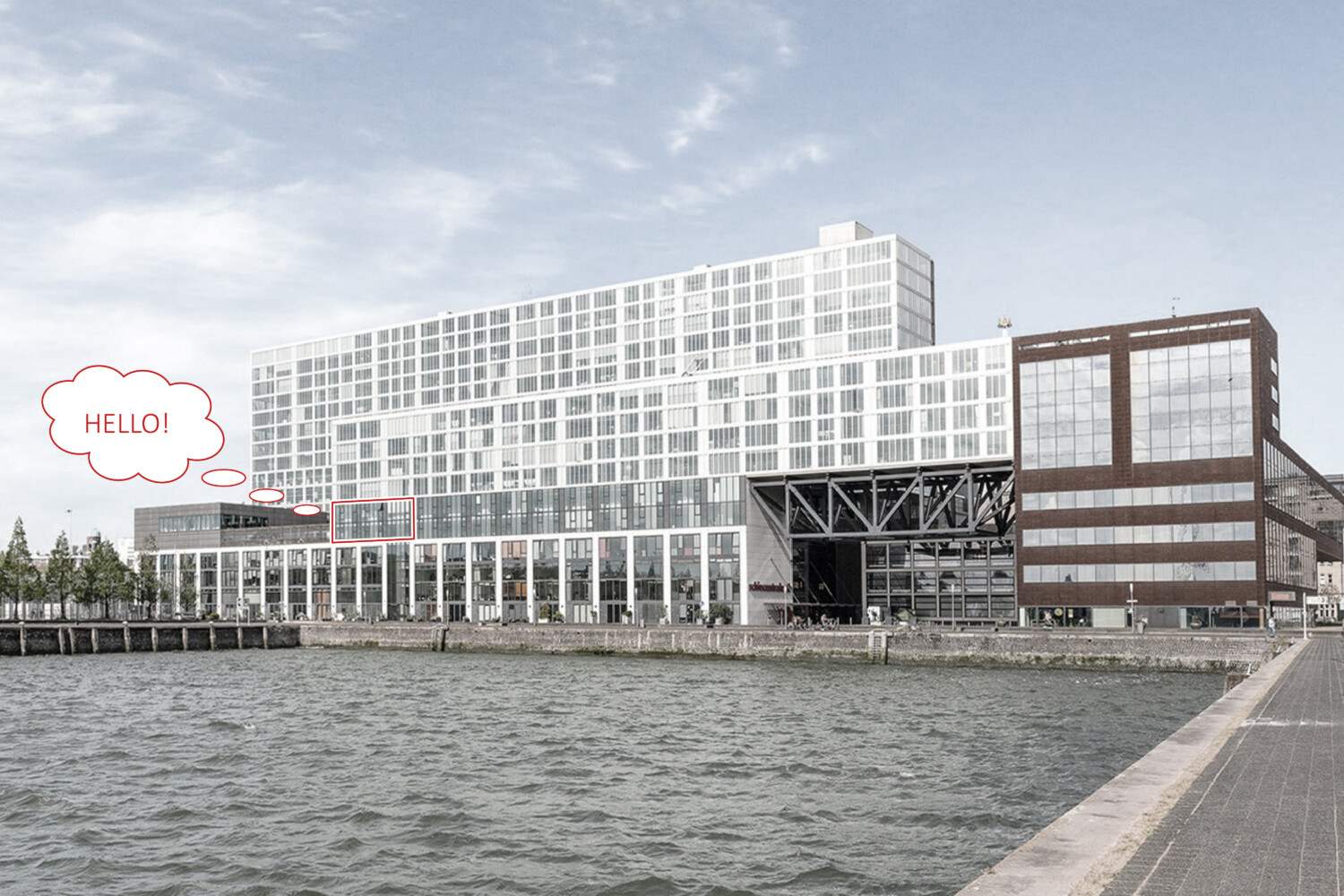
Delighted to announce that we moved to our new office at Schiehavenkade 48 in Rotterdam! Excited for this new space that will inspire even more opportunities and growth!
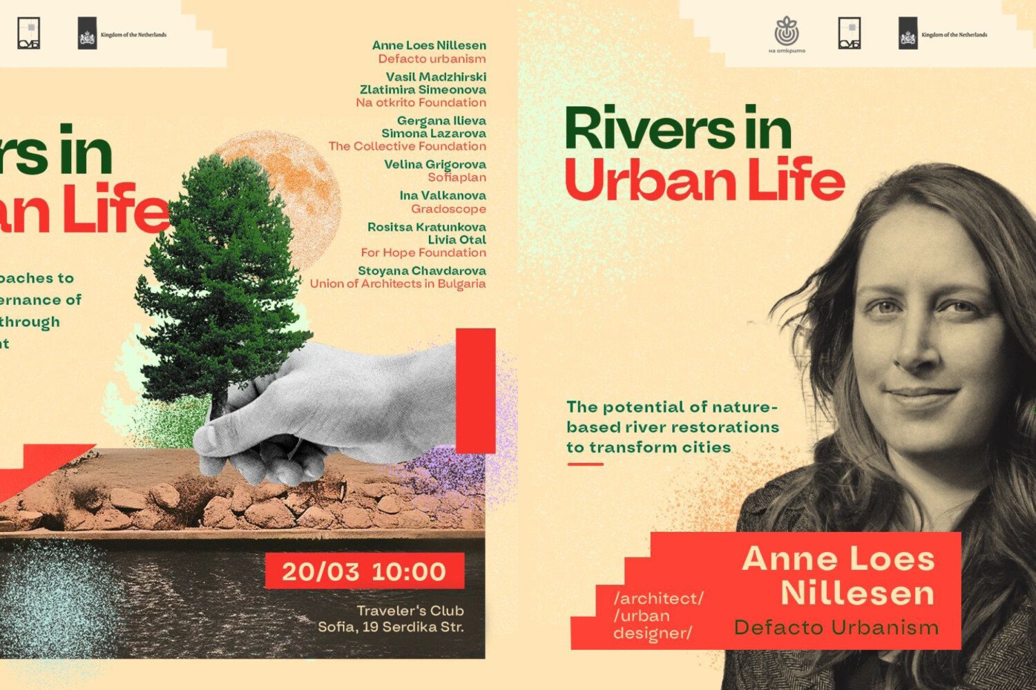
Rivers in Urban Life: Symposium in Sofia
How can we revitalize our riverside spaces?
Anne Loes Nillesen is participating in the Rivers in Urban Life symposium, organized by the Na otkrito Foundation in Sofia on the 20th of March. She will present on “The Potential of Nature-Based River Restorations to Transform Cities.”
The symposium will bring together experts from Bulgaria and abroad to exchange knowledge and ideas on sustainable planning and governance of riverside spaces through public engagement.
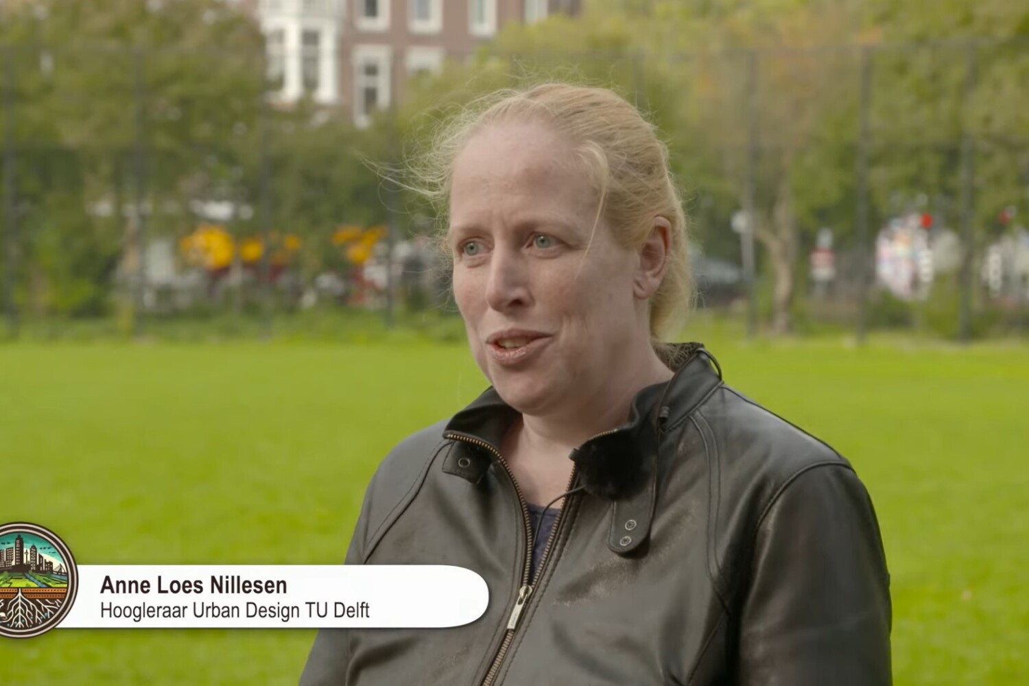
Healthy city starts at the soil: Designers and experts work together
Considering the current urban urgencies, urban planners and soil experts agree on the fact that we need to have alternative approaches for creating healthier cities. But how we can achieve this ambition? In one of the recent episodes of ‘Rotterdamse Grond’, Anne Loes Nillesen explains the current challenges related to soil conditions, and gives insights into future perspectives for climate adaption.
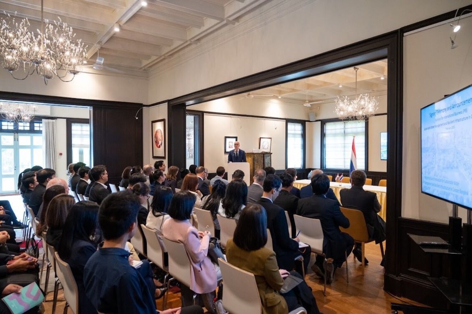
PIB Water Greater Bangkok: Integrating Dutch Innovation for Sustainable Water Management
🌏 PIB Water Greater Bangkok kicked off!
The Signing Ceremony at the Dutch Embassy in Thailand marks the official launch of the Partners for International Business (PIB) Greater Bangkok partnership. We are excited to continue our work in Bangkok with existing and new partnerships and work towards our goal of a resilient metropolitan area.
Are you located in Bangkok and interested in collaborating, please feel free to reach out!
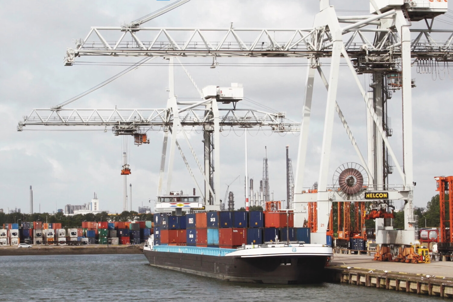
Future-proof ports in the Flemish-Dutch Delta
The Flemish-Dutch Delta will be subjected to transitions in the coming decades. The harbors in the confluence of the Rhine, the Meuse and the Scheldt, fulfill an essential economic role as a logistical gateway between the North Sea and Northwestern Europe. Its location makes the delta subject to the effects of climate change, such as sea level rise, salinity and extreme weather conditions. Also, it is these areas where transitions towards circularity and sustainable energy have major impacts.
Anne Loes Nillesen together with Government Architect Francesco Veenstra explains which fundamental choices we need to take on the short term for making Flemish-Dutch Delta future-proof. Bart Kuipers and David Verhoestraete were a part of the multidisciplinary team for this commissioned research study for the spatial future of the ports and port areas between Rotterdam and Zeebrugge.
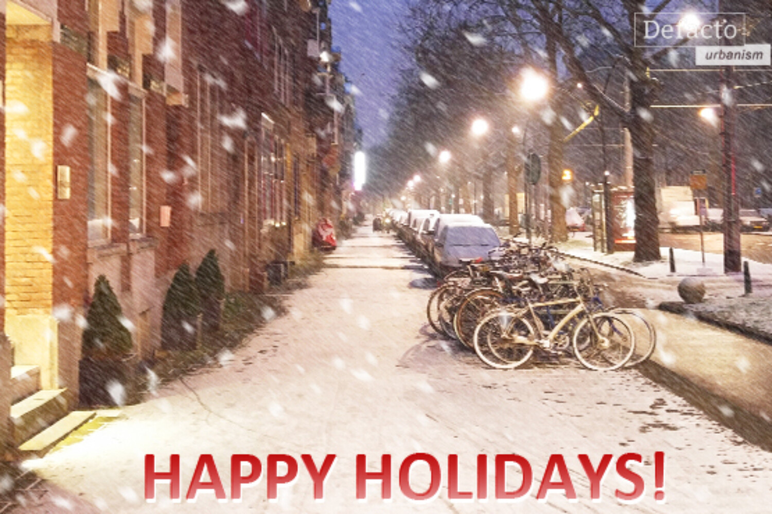
Happy Holidays!
We wish you all the best this holiday season, filled with wonder, joy, and inspiration! Looking forward for 2025!
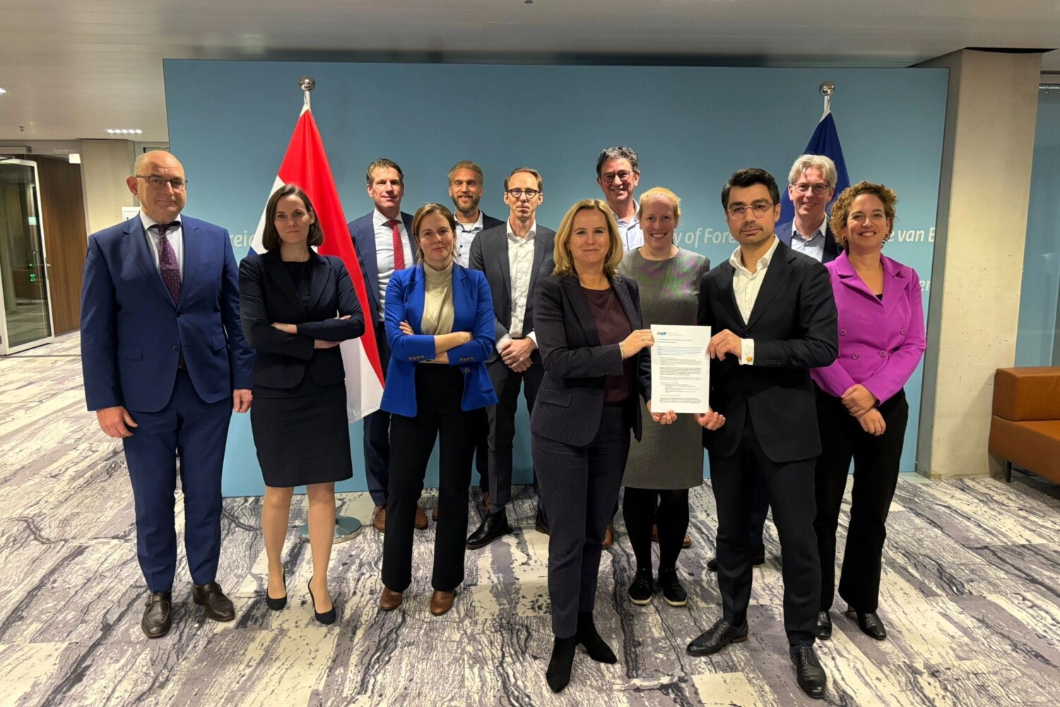
NWP leads dialogue with Dutch Minister Foreign Trade and Development Aid | A year of progress with UWP3 | UN International Procurement Seminar 2025
It is particularly important that the integrated approach plays a vital role in policy making, where government, business, NGOs and knowledge institutions work together on global water challenges.
This week, Anne Loes Nillesen was convened in an inspiring conversation, as a part of the NWP (Netherlands Water Partnership) Advisory Board, a high-level meeting with Reinette Klever, the Minister of Foreign Trade and Development Aid; Steven Collet, the Deputy Director-General of International Cooperation at the Ministry of Foreign Affairs; and, Interdepartmental Policy Officers.
This important dialogue, held in The Hague, was prompted by the Minister’s invitation to discuss the future of development aid for water management as part of a broader Dutch foreign policy ahead of an upcoming Cabinet policy letter on development aid.
Other attendees included notable people from the private sector, civil society, and academia, such as Toine Ramaker (VEi), Johannes Boonstra (Wetsus), Lisa Brand (LG Sonic), Michel Riemersma (Royal Haskoning DHV), Jacob J. Vreugdenhil (Woord & Daad), Marieke van Nood (Dutch Water Authorities), Henk Nieboer (Adaelta, Aquius Capital), Dorien Lugt (HKV), Frank Goossensen (Topsector Water & Maritime, Arcadis), and Rick Elmendorp (NWP).
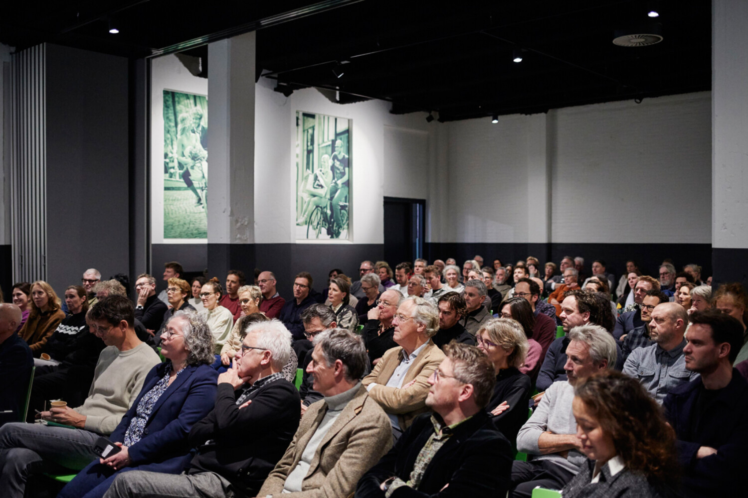
Blauwe Kamer Yearbook 2024
During a well-attended meeting in Ede, the Yearbook 2024 Blauwe Kamer was presented, where the chairman of the selection committee Yttje Feddes introduced the first copies to the chairmen of the NVTL and the BNSP Joeri de Bekker and Eric van der Kooij, and government advisor Wouter Veldhuis.
Anne Loes Nillesen was a part of the selection committee, together with landscape architect David Kloet, developer Eva Hekkenberg and urban planner Endry Van Velzen. While introducing the selection of 18 projects, the importance of what long-term involvement of designers and clients yields for new opportunities is emphasized.
Photo by Christiaan Krouwels
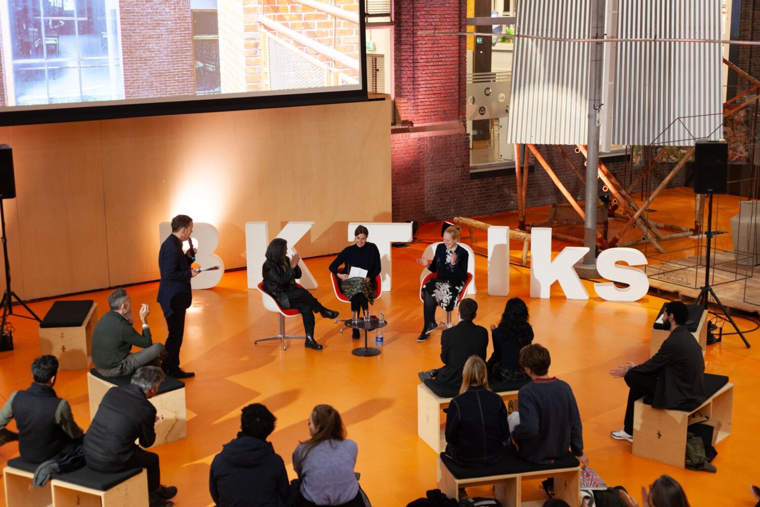
BK Talks: In Conversation with Marina Tabassum
Anne Loes Nillesen was one of the participants of the BK Talks: ”In Conversation with Marina Tabassum”, where she presented her experience and work in the deltas of the Netherlands and Bangladesh.
This inspiring conversation was hosted as part of the celebration of the BK Expo: ”Marina Tabassum: Building with the Delta”, showcasing the work of architect marina tabassum, and emphasizing her engagement with the environmental and social challenges of Bangladesh.
If you would like to check out the whole session, follow this link.
Photograph by Jesse Verdoes
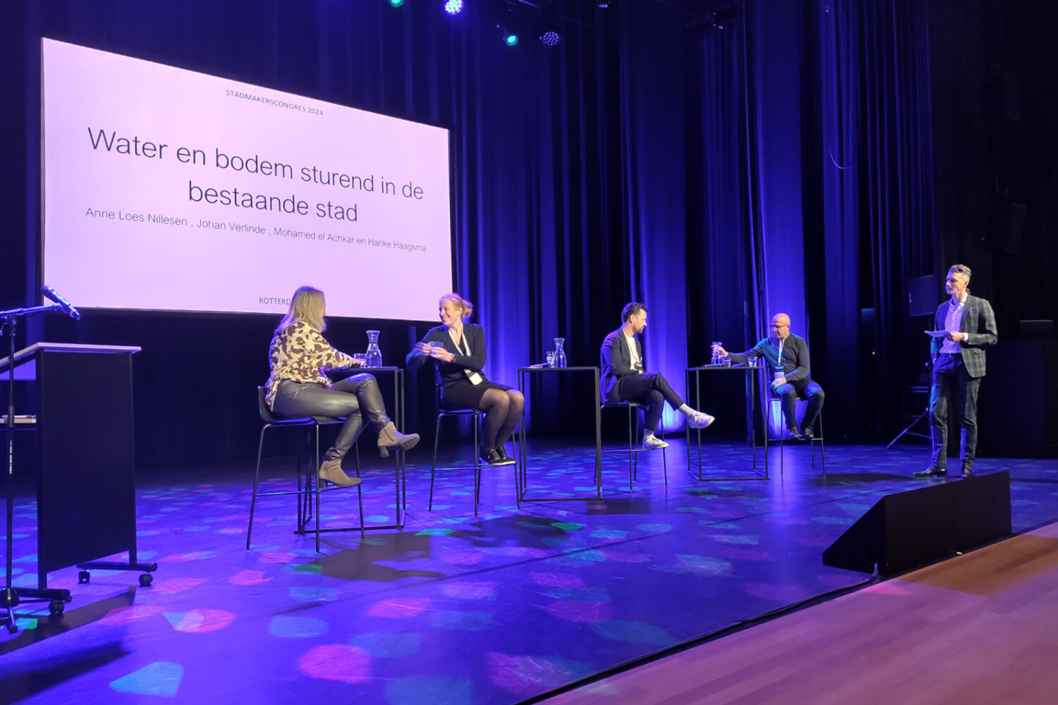
Stadmakerscongres 2024
Op 15 november waren wij, net als vele andere stadmakers, aanwezig bij het Stadmakerscongres2024 in Theater Zuidplein.
In de ochtend hadden we de mogelijkheid om door middel van een inspirerende werksessie de implicaties van buitendijks bouwen te bespreken. Hierin werd benadrukt dat het van groot belang is om bij ontwikkelingen niet alleen nieuwbouw te beschermen tegen zeespiegelstijging, maar deze mogelijkheden aan te grijpen om ook de bestaande stad beter te beschermen tegen hoogwater.
In de middag was Anne Loes Nillesen onderdeel van een panelgesprek over Water en Bodem sturend in de bestaande stad. Samen met Johan Verlinde, Mohamed el Achkar en Hanke Haagsma werd een discussie gevoerd over hoe de bestaande stad klaargemaakt wordt voor de toekomst. Dit gesprek liet zien dat we alle partijen nodig hebben richting een klimaatadaptief Rotterdam en dat de uitdaging groot is.
Wij kijken met een goed gevoel terug op dit geslaagde en inspirerende Stadmakerscongres 2024, tot volgend jaar!